Enterprise GIS Deployment for a Municipal Utility
The record of a real deployment: Portal, ArcGIS Server, Web Adaptors, SSL certificates, Data Store and federation, installed in a controlled order, checked at every step and handed over as a platform the organization’s own staff can run.
GIS that lived on individual desktops
The organization managed critical infrastructure data in file-based workflows built up over years of desktop GIS use. Data lived in personal folders, sharing meant emailing files, and there was no secure web access for field crews or leadership.
They needed a central platform built properly, on their own servers, by someone who had done it before.
No single source of truth
Layers duplicated across machines and drives, with no way to know which version was current.
No secure sharing
No HTTPS portal for maps and apps that field crews, engineers or leadership could sign in to.
No path forward
Dashboards, field apps and the Utility Network all need an Enterprise foundation that did not exist.
One federated platform behind one secure address
Users get a single HTTPS address. Behind it, IIS Web Adaptors route traffic to Portal for identity and sharing and to ArcGIS Server for GIS services, with ArcGIS Data Store supporting hosted layers. The diagram shows data moving through the platform we delivered.
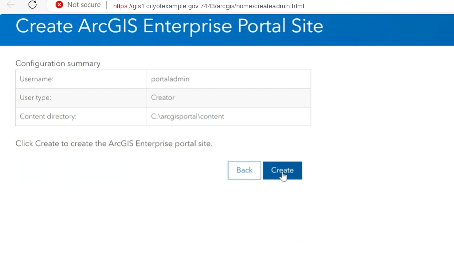
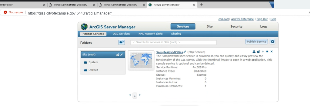
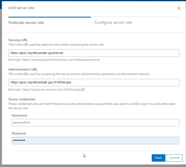
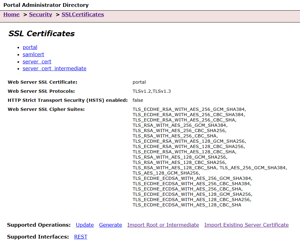
Nine checkpoints, each with proof
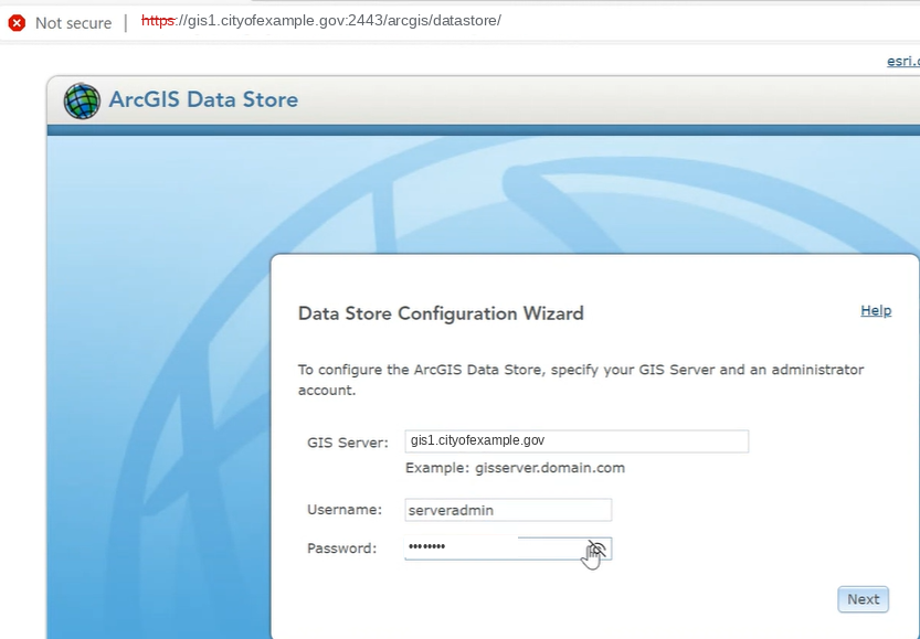
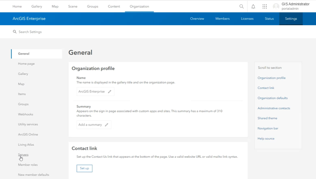
Every deployment leaves a record: what was configured, which account or URL was used, and which check proved the environment was ready for the next step.
A platform their own staff can run
Staff sign in over trusted HTTPS
No ports in the URL, no browser warnings, one address for everything.
Analysts publish to one platform
Hosted layers, services and web maps live in a managed environment instead of on desktops.
The IT team can run it
The build record and runbook mean upgrades and troubleshooting do not depend on us.
Ready to talk about your GIS?
Tell us what you are working on. We reply with questions first, then a written scope and a price.