GIS consulting for local government, utilities and engineering firmsinfo@infraspatialsolutions.comServing clients across the United States
Enterprise GIS consulting · United States

Enterprise GIS consulting for utilities, local government and engineering firms

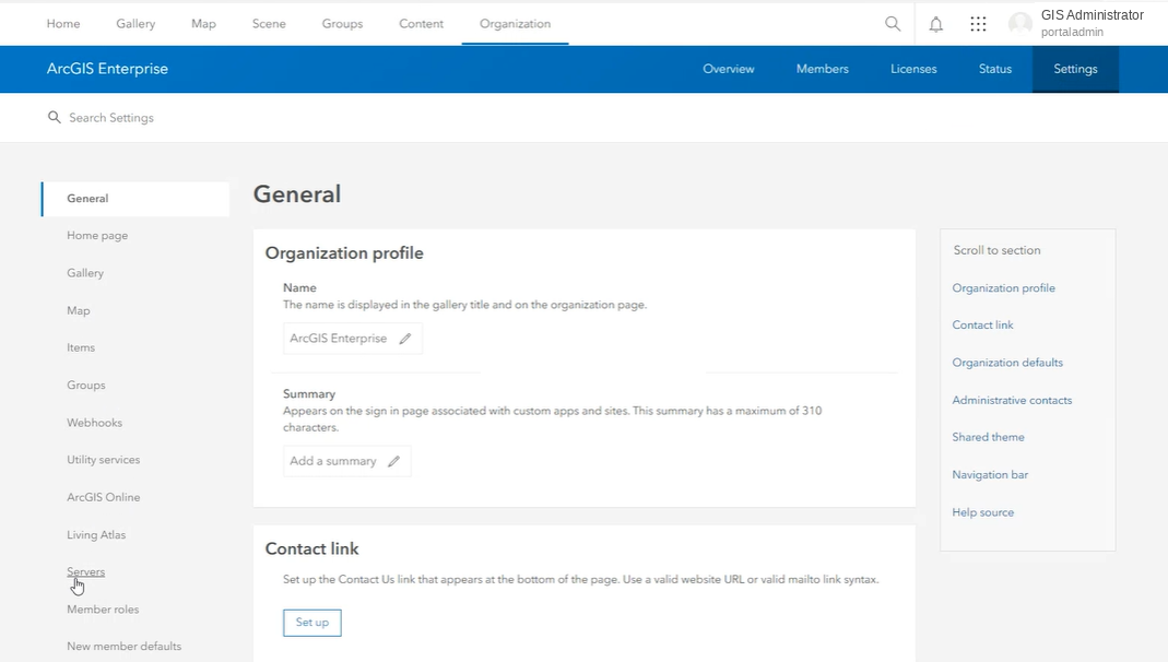
From the crew in the field to the dashboard in the boardroom: we implement and support ArcGIS Enterprise, migrate utility data into the Utility Network, automate QA and reporting in Python, and build the field apps and dashboards your staff use every day.

Hydrant inspectionField Maps · offlineASSET IDHYD-2041CONDITIONNeeds repairFLOW TEST (GPM)1,120photoattachedSubmitSynced to EnterpriseArcGIS Enterprisefederated · HTTPSPortalidentity and sharingArcGIS Serverfeature service updatedData Storerecord writtenAutomation and QAPython · attribute rules · scheduled jobs> attribute rulespass> domain checkvalid> duplicate scannone> work order createdWO-5187> nightly reportqueuedOperations dashboardINSPECTED TODAY4243WORK ORDERS67INSPECTIONS BY DAYhydrants · needs repairRECENTHYD-2041 · Needs repairnowHYD-1988 · Good9:41VLV-0312 · Good9:121Collect in the field2Sync to ArcGIS Enterprise3Validate and automate4Decide from the dashboard
One inspection record, from Field Maps to the dashboard. Animated example.
521ArcGIS services mapped in one governance inventory
1,567dependencies traced in a single search
9documented checkpoints on our last Enterprise build
10+years of GIS and water resources experience
Why InfraSpatial

A consulting model built for organizations without a large GIS staff

Most of our clients run critical systems with a small team. Our job is to make that team more capable, not more dependent.

Senior-led, start to finish

The person who scopes your project is the person who builds it. No hand-off to junior staff.

Documented and handed over

Every engagement ends with a build record, runbook or SOP your team keeps using.

No lock-in

Code, data, models and credentials stay with you. Nothing depends on our accounts.

Platform and data together

Enterprise administration, data migration and automation from one team, so nothing falls between vendors.

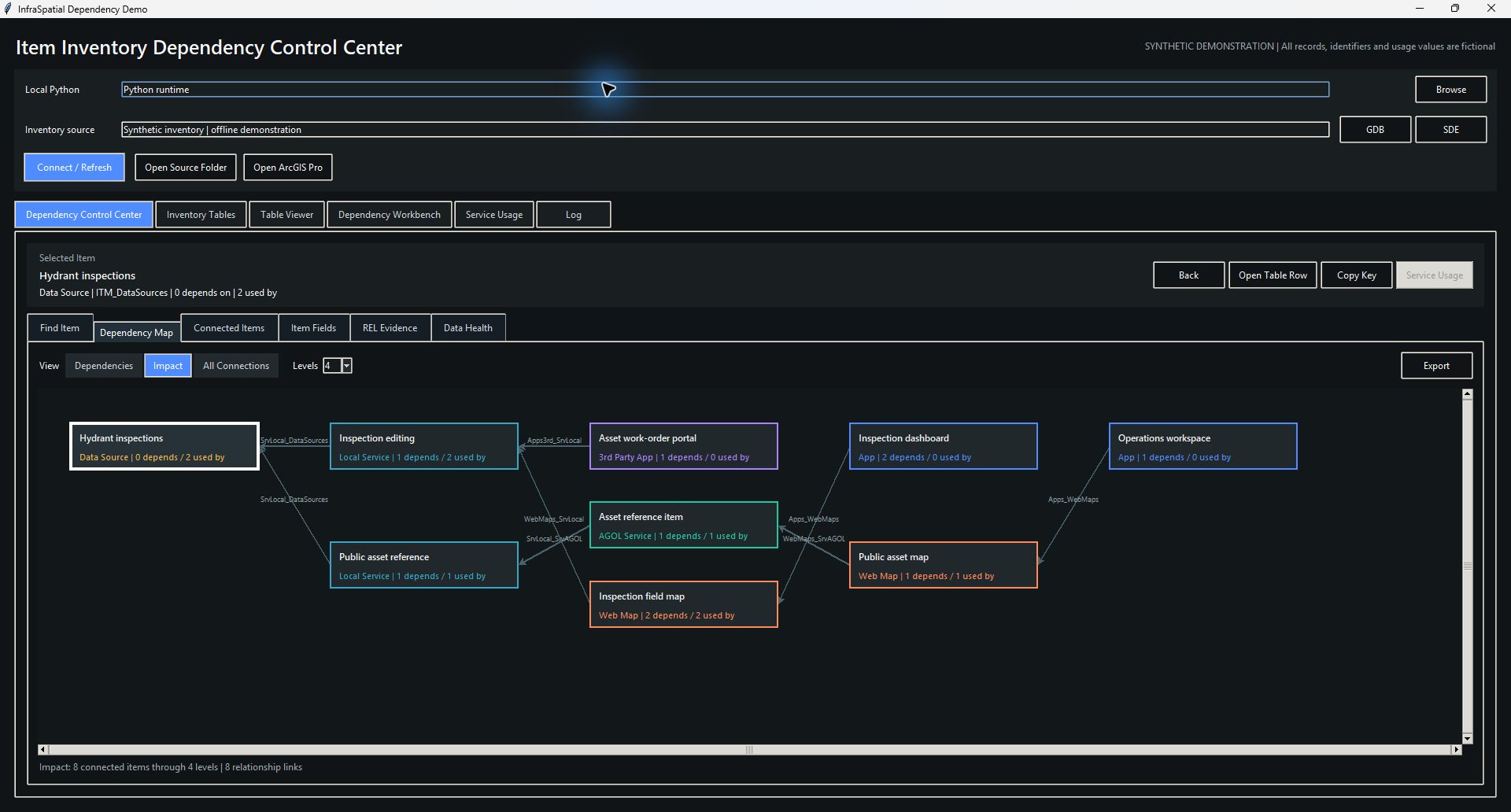
Item Inventory Explorer · dependency search
Item Inventory Explorer tracing 1,567 dependencies for one service

Our Item Inventory Explorer running against a real municipal ArcGIS estate (names replaced).

How we work

Four steps, no surprises

STEP 01

Assessment

A call and a look at your environment, data or model. We tell you plainly what it would take and whether we are the right fit.

STEP 02

Scope and plan

A written scope with fixed deliverables, a schedule and a price. Changes are agreed in writing before they are billed.

STEP 03

Build with your team

Work happens alongside your staff with short written progress notes each week, so nothing is a surprise at delivery.

STEP 04

Hand over and support

Documentation, runbooks and training. Ongoing support is available but never required.

Ready to talk about your GIS?

Tell us what you are working on. We reply with questions first, then a written scope and a price.